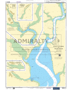
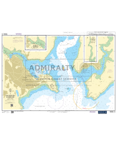
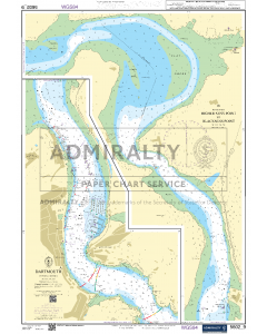
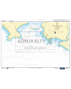
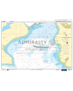
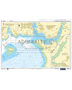
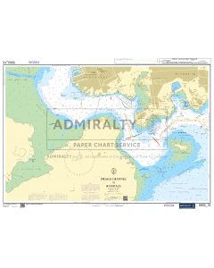
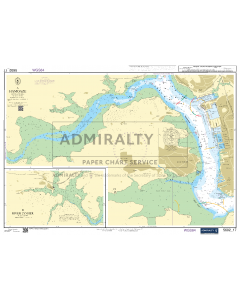
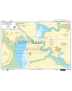
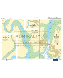
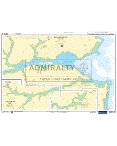
ADMIRALTY Small Craft Chart 5602_5: Falmouth Harbour
ADMIRALTY Small Craft Chart Service Discount
5-9 charts receive 35% discount
10-14 charts receive 65% discount
15+ charts receive 75% discount
Discount automatically applies at the basket stage
- FREE Delivery to UK - Spend over £75
- FREE Delivery to Europe - Spend over £150
- Worldwide Delivery Available
ADMIRALTY Small Craft Chart 5602_5: Falmouth Harbour
A - Falmouth Harbour (1:12,500)
B - Upper Reaches of the Percuil River (1:12,500)
C - Penryn Harbour (1:12,500)
Product Details
Part Number: 5602-5
Scale: 1:2(Plans)
Publisher: UK Hydrographic Office
Author(s): UK Hydrographic Office
Edition: Nov-21
Printed and corrected to: date of order
Format: Printed on demand (not returnable). Chart size A2, printed on 71.5 x 53.5cm paper.
Language: English
MPN: 5602_5
ADMIRALTY Small Craft Chart 5602_5: Falmouth Harbour
A - Falmouth Harbour (1:12,500)
B - Upper Reaches of the Percuil River (1:12,500)
C - Penryn Harbour (1:12,500)
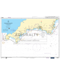
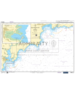
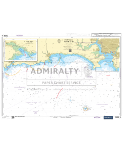
ADMIRALTY Small Craft Charts 5602: The West Country: Falmouth to Teignmouth
England South Coast Travel Guide Books
ADMIRALTY Leisure Small Craft Charts
ADMIRALTY Leisure Small Craft Charts are A2 charts to support coastal navigation around the UK. Quality assured by maritime experts at the UKHO, each folio contains appropriate chart coverage and scales to help leisure yachtsmen, motor boat cruisers, ocean racing skippers and other leisure mariners maintain safety of life at sea.
Other key features of Leisure Charts include:
- Weekly Notices to Mariners (NMs) to ensure you have the latest safety-critical information
- Information clearly highlighting coastal areas, slipways and racing marks to aid navigation, as well as harbours and marinas
- Tidal information, abbreviations, radio services and symbols
- Convenient and durable, with each chart printed on A2 standard chart paper

