We use cookies on this website to improve the quality of our services and to provide you with a personalised experience. If you continue browsing our site you agree to our Cookie Policy
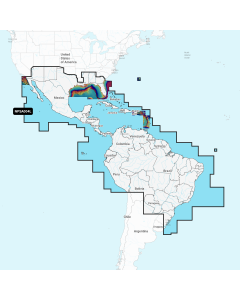
Go boating with comprehensive charts derived from multiple official, government and private sources, displayed in a familiar look and feel.
SONARCHART™
Understand depths and bottom detail with our innovative 1ft/0.5 m bathymetry charts created using Navionics proprietary systems that process sonar data contributed by boaters with existing content.
COMMUNITY EDITS
Get useful local knowledge from fellow boaters in this crowdsourced content layer packed with points of interest, navigation aids and variety of edits made by users of our boating app.