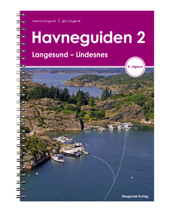
Havneguiden 2: Langesund – Lindesnes
- FREE Delivery to UK - Spend over £75
- FREE Delivery to Europe - Spend over £150
- Worldwide Delivery Available
Harbour Guide 2 describes anchorages and guest harbours/marinas from Langesund to Lindesnes. Each harbour is presented on its own page in the Guide with a detailed chart, aerial photograph, descriptive tekst and fact box.
Product Details
Part Number: PIL3002
Edition: 2019
Printed and corrected to: No
ISBN: 9788292284896
Publisher: Skagerrak Forlag
Language: English, Norwegian
Format: Spiralbound
Harbour Guide 2 describes anchorages and guest harbours/marinas from Langesund to Lindesnes. Each harbour is presented on its own page in the Guide with a detailed chart, aerial photograph, descriptive tekst and fact box.
We have prepared a completely new set of chart extracts for this edition of Harbour Guide 2. We have been given permission by Norwegian Armed Forces to access 2 metre contours from The Norwegian Mapping Authority’s archives. This data has not been previously made available to boaters. We have also carried out our own measurements where The Norwegian Mapping Authority’s chart data is not sufficient. The charts are therefore unique and we hope and believe that they will contribute to a safer and less complicated boating life. When your charts and chart plotter fall short, Havneguiden helps you safely into harbour!

