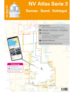
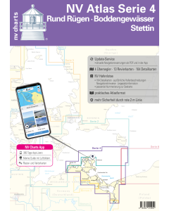
NV.Atlas Serie 3: Samsø, Sund & Kattegat
- FREE Delivery to UK - Spend over £75
- FREE Delivery to Europe - Spend over £150
- Worldwide Delivery Available
This atlas contains a download code for all charts in this area to be used with the nv chart app. The app is compatible with Apple: iOS/MacOSX, Android & Windows: 7/8/10.
Product Details
Part Number: YOT0006DE3
Scale: 1:1(Various)
ISBN: 9783932414947
Publisher: NV Charts
Edition: 2024
Printed and corrected to: edition date
Format: Combipack - Paper / Download and app
Language: English, German
MPN: 1703
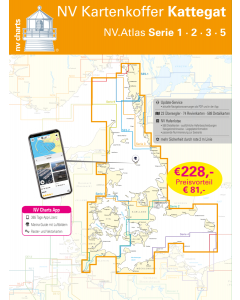
As a sequel of the popular series 1 and 2, NV Charts offers the NV Atlas series 3. North of Copenhagen - where harbours and beautiful places line up and the distance between Denmark and Sweden is the smallest - this set of nautical charts takes you along the Swedish west coast via Gothenburg through the Kattegat to Skagen. It is possible to sail directly into the Limfjord towards the North Sea via the Aalborg Bay. Or just visit the beautiful Kattegat islands of Läso, Anholt and Samsö.
The practical atlas format as well as the option to download digital charts and a harbour pilot book with insider tips complete the package. To complement this chart set we recommend series 9 which takes you directly and safely through the Limfjord into the North Sea or the two Swedish chart sets 5.2 and 5.1 which take you along the entire Swedish west coast to the beginning of the Oslofjord.The handy recreational boat charts are a chart set specially designed for recreational boating. Charts for the Samsø - Sund - Kattegat sea area include nautical charts in various scales as well as all harbour plans and details for approaches and passages in the waters. In addition clearance heights for bridges power lines etc. as well as all nautical and navigational information are included. Thanks to the clear structure the recreational skipper can quickly find accesses harbours and anchorages and is pointed to navigationally important details that also appear in the nv charts app. The chart series impresses with its detailed scales and optimal page cuts.
This chart set includes
- 7 Passage Charts
- 8 Coastal Charts
- 8 detailed charts
- port pilot with plans for all marinas and pleasure craft harbours
- digital charts included
- new: Vector charts download
- nv charts app and navigation software 365 days licence
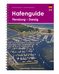
- Harbour pilot in paper / digital in German and English
- Shore pilot digital
- Aerial photographs of the German and Danish coasts digital
- Navigation instructions in German
- Meets legal requirements for up-to-date paper charts on board
Including maps and scales
Overview map
Overview map Series 3 1 : 520000 Skagerrak 1 : 520000 S 30 Kattegat Southwest 1 : 200000 S 30A Kattegat Southeast 1 : 200.000 S 31 Kattegat Central West 1 : 200.000 S 31A Kattegat Central East 1 : 200.000 S 32 Kattegat North 1 : 180.000
Coastal Charts
S 26 Sund North 1 : 80.000 S 27 Isefjord 1 : 65.000 S 27A Roskilde Fjord North 1 : 42.000 S 27B Roskilde Fjord South 1 : 42.000 S 28 Samsø Belt 1 :108.000 S 29 Aarhus Bay 1 :100.000 S 34 Randers & Mariager Fjord 1 : 56.000 S 35 Sund North Approach 1 : 65.000 Detailed maps
Detailed maps
S 26 Helsingør 1 : 25.000 S 27B Gershøj Selsø approach 1 : 25.000 S 33 Frederikshavn approach 1 : 40.000 S 33 Frederikshavn 1 : 20.000 S 33 Hals approach 1 : 45.000 S 34 Udbyhøj 1 : 18.000 S 34 Hadsund Bridge 1 : 16.000 S 35 Hallands Väderö 1 : 40.000

