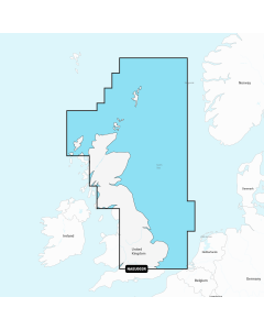
SC5617 Scotland - East Coast - Fife Ness to Inverness and the Caledonian Canal (2nd Edition)

- FREE Delivery to UK - Spend over £75
- FREE Delivery to Europe - Spend over £150
- Worldwide Delivery Available
WITHDRAWN - REPLACED BY INDIVIDUAL SHEETS
Admiralty Leisure Small Craft Chart Folio
Product Details
Part Number: SC5617
Scale: 1:1(Various)
ISBN: 9780707780856
Publisher: UK Hydrographic Office
Edition: 2012
Printed and corrected to: No
Format: Folio - A2 Size
MPN: 9780707780856
ADMIRALTY Leisure folio of the East Coast of Scotland covering Fife Ness to Inverness and the Caledonian Canal. Includes 21 charts plus various harbour charts.
Charts included:
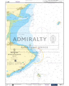
- 5617.1 - Isle of May to River Tay Entrance
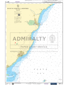
- 5617.2 - River Tay Entrance to Montrose
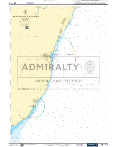
- 5617.3 - Gourdon to Stonehaven
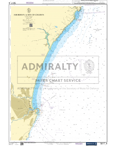
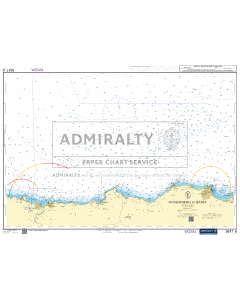
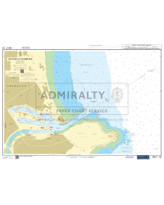
- 5617.4 - Aberdeen to Bay of Cruden
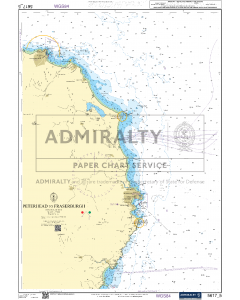
- 5617.5 - Peterhead to Fraserburgh
- 5617.6 - Fraserburgh to Banff
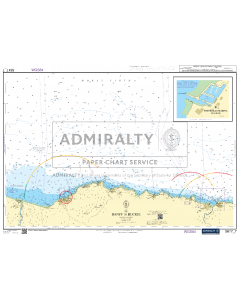
- 5617.7 - Banff to Buckie
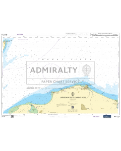
- 5617.8 - Lossiemouth to Tarbat Ness
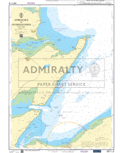
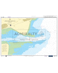
- 5617.9 - Approaches to Inverness Firth
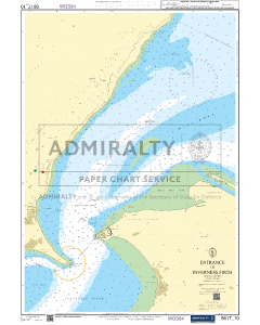
- 5617.10 - Entrance to Inverness Firth
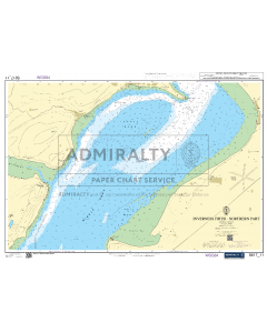
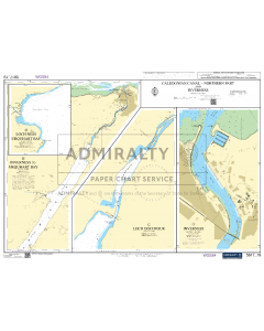
- 5617.11 - Inverness Firth - Northern Part
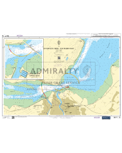
- 5617.12 - Inverness Firth - Southern Part
- 5617.13 - Approaches to River Tay
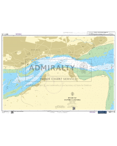
- 5617.14 - River Tay Tayport to Dundee
- 5617.15 - Montrose Harbour, Arbroath Harbour and Stonehaven Harbour
- 5617.16 - Aberdeen Harbour
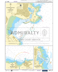
- 5617.17 - Peterhead Bay and Harbours, Banff and Macduff and Fraserburgh
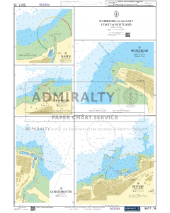
- 5617.18 - Harbours on the East Coast of Scotland
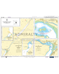
- 5617.19 - Caledonian Canal-Northern Part and Inverness
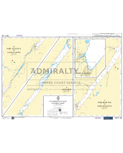
- 5617.20 - Caledonian Canal Central Part
WITHDRAWN - REPLACED BY INDIVIDUAL SHEETS
ADMIRALTY Small Craft Charts 5617: Scotland - East Coast, Fife Ness to Inverness and the Caledonian Canal

North Sea Tidal Stream Atlases & Eastern Almanac
-
-
ACR ResQLink View Buoyant PLB
Special Price £349.00 Regular Price £429.00Stock Out of stockOut of stock -
-
-
-
-
-
-
-