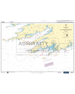
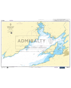
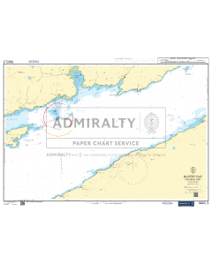
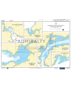
SC5623 Ireland - South West Coast - Bantry Bay to Kinsale
- FREE Delivery to UK - Spend over £75
- FREE Delivery to Europe - Spend over £150
- Worldwide Delivery Available
WITHDRAWN - REPLACED BY INDIVIDUAL SHEETS
4th Edition, February 2021
Admiralty Leisure Small Craft Chart Folio
Product Details
Part Number: SC5623
Scale: 1:1(Various)
ISBN: 9780707781334
Publisher: UK Hydrographic Office
Edition: 2021
Printed and corrected to: edition date
Format: Folio - A2 Size
Language: English
MPN: SC5623
SC5623 - Ireland - South West Coast
Charts included:
- 5623.1 - The Bull to Tuskar Rock (1:500,000)
- 5623.2 - The Bull to Glandore Harbour (1:150,000)
- 5623.3 - Glandore Bay to Ballycotton Bay (1:150,000)
- 5623.4 - Upper Reaches of Bantry Day (1:30,000)
- 5623.5 - Bantry Bay - Central Part (1:30,000)
- 5623.6 - Harbours and Anchorages in South West Ireland
- Castletown Bearhaven (1:15,000)
- Dunbeacon Harbour (1:10,000)
- Kitchen Cove (1:10,000)
- Dunmanus Harbour (1:10,000)
- Glandore Harbour (1:25,000)
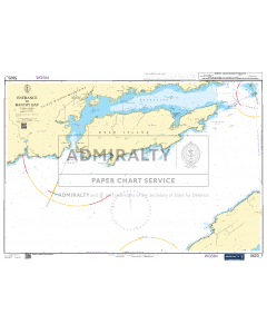
- 5623.7 - Entrance to Bantry Bay (1:30,000)
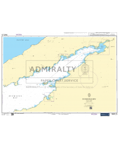
- 5623.8 - Dunmanus Bay (1:30,000)
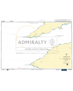
- 5623.9 - Approaches to Dunmanus Bay (1:30,000)
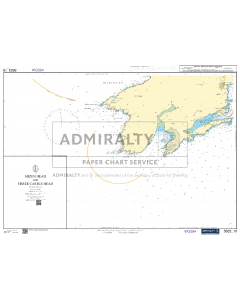
- 5623.10 - Mizen Head and Three Castle Head (1:30,000)
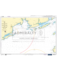
- 5623.11 - Crookhaven to Long Island and Cape Clear (1:30,000)
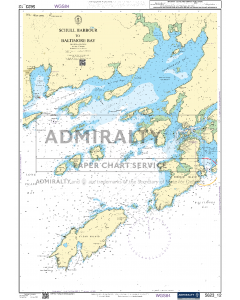
- 5623.12 - Schull Harbour to Baltimore Bay (1:30,000)
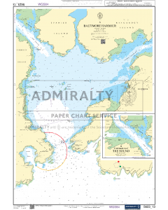
- 5623.13
- Baltimore Harbour (1:6,250)
- Continuation of The Sound (1,6250)
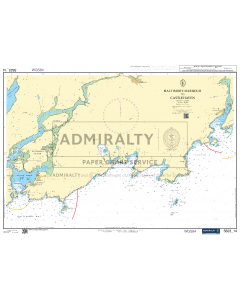
- 5623.14 - Baltimore Harbour to Castlehaven (1:30,000)
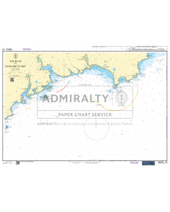
- 5623.15 - Toe Head to Clonakilty Bay (1:50,000)
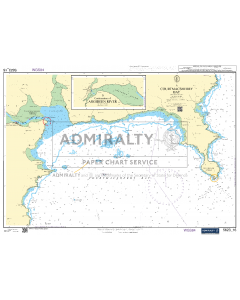
- 5623.16
- Courtmacsherry Bay (1:25,000)
- Continuation of Argideen River (1:25,000)
- 5623.17 - Kinsale (1:12,500)
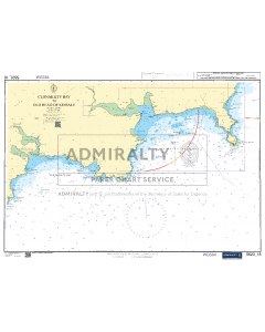
- 5623.18 - Clonakilty Bay to Old Head of Kinsale (1:50,000)

