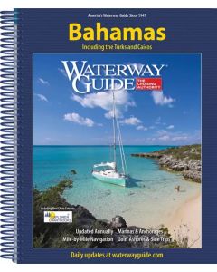
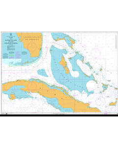
Waterway Guide - Bahamas

- FREE Delivery to UK - Spend over £75
- FREE Delivery to Europe - Spend over £150
- Worldwide Delivery Available
Including the Turks and Caicos. Updated anually. Mile-by-mile navigation. Marinas & anchorages. Goin' ashores.
Product Details
Part Number: PIL1050
Edition: 2025
Printed and corrected to: No
ISBN: 9798986652511
Publisher: Waterway Guide
Language: English
Format: Spiralbound
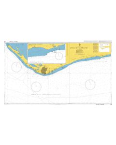
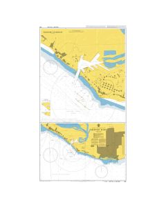
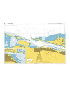
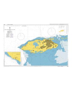
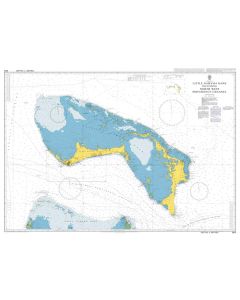
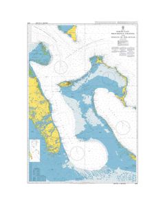
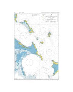
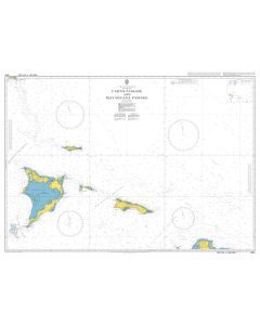
Updated annually, the Waterway Guide Bahamas 2025 edition is the indispensable cruising companion for boaters exploring the Bahamas Islands and the Turks and Caicos Islands.
The guide features mile-by-mile navigation information, aerial photography with marked routes, marina listings and locator charts, anchorage information and expanded Goin' Ashores articles on ports along the way. Helpful cruising data like GPS waypoints, detailed planning maps and distance tables help get boaters there safely. Heavy laminated covers with bookmarker flaps ensure durability and easy use in the cockpit and at the helm.
Working with Waterway Guide Media, Explorer Chartbooks created a series of chartlets that offer situational awareness and complement navigation advice and associated information in Waterway Guide's book. Each chart extract is labeled with a cross reference number to the master chart in the Explorer Chartbooks library. Trip planning and navigation in the Bahamas is now more reliable than ever using Waterway Guide's book, Explorer Chartbooks' charts, and the Aqua Map mobile app with Explorer ENCs and Waterway Guide data embedded.